
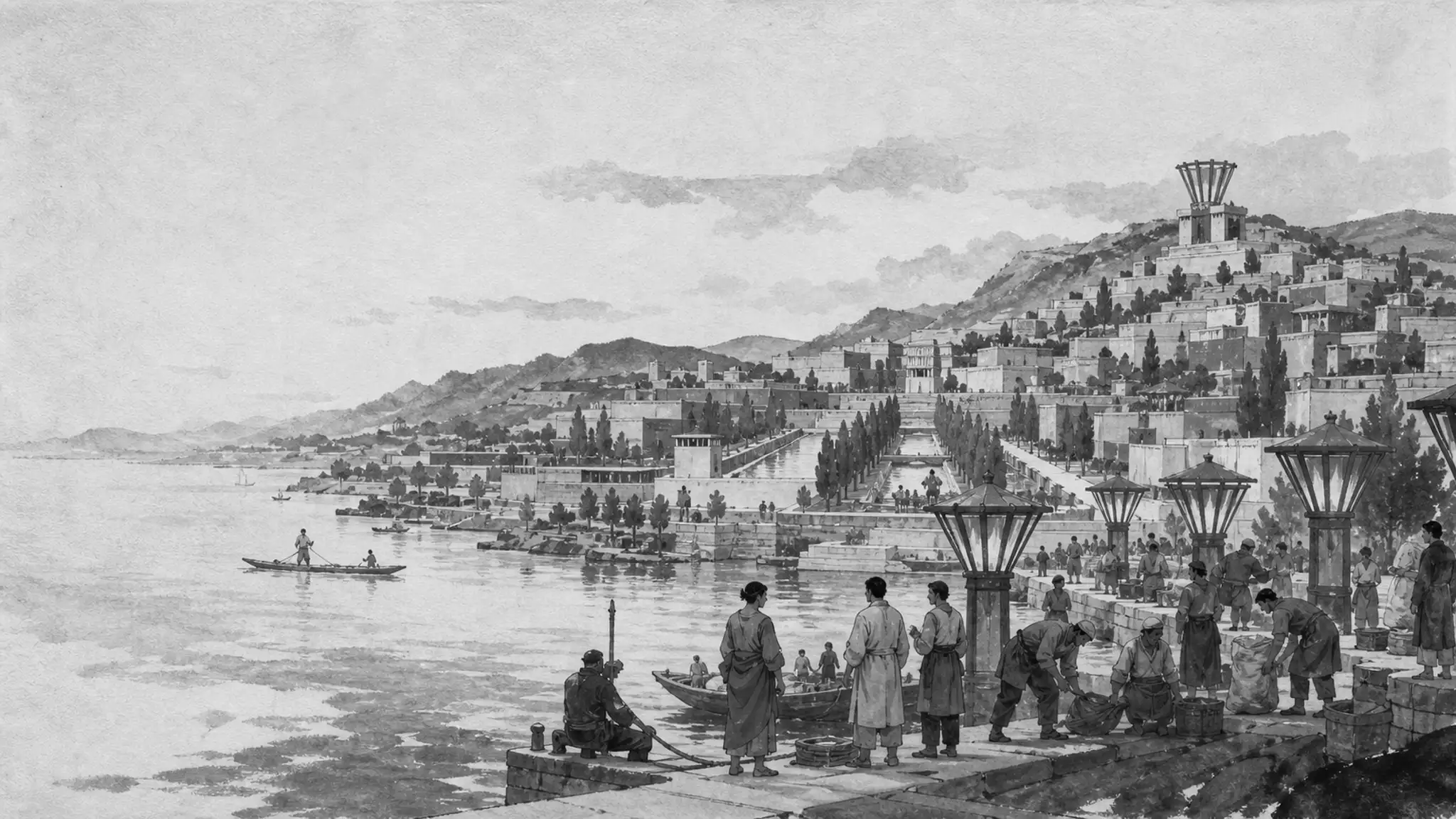
Valoria
Atlas: Basins and Corridors
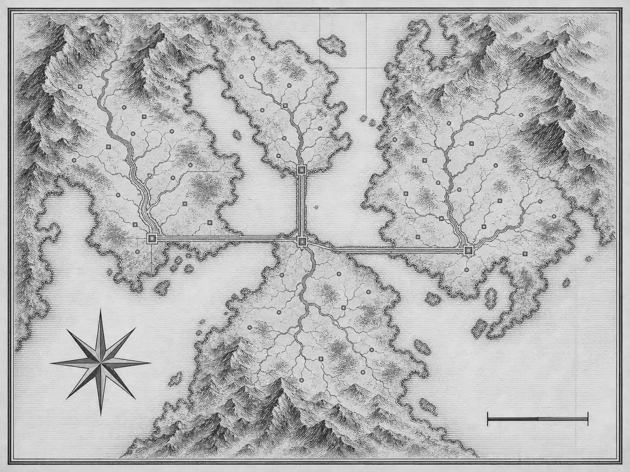
A working geography of the model nation: basin regions around a shared water system, joined by trunk corridors to a central confluence.
The claim
The map argues too: geography sets the terms institutions work under.
Valoria's pages work one problem from different sides: the constitution, the institutions, the geography, and the daily life they produce.
Plain English
Geography is policy. How people move, work, and access water or energy changes what governance can responsibly promise.
Common Concern
Map pages can become decorative lore. This one stays a planning sketch: every named feature changes a practical institutional decision, or it is not on the sheet.
Working sheet
One water system, four basins, four trunk corridors.
- Water system
- 1
- Basin regions
- 4
- Trunk corridors
- 4
- Mapped features
- 5
- Basin regions
- 4each paired with its own watershed
- Capital confluence
- 1planned region at the corridor meeting point
- Trunk corridors
- 4transport, energy, and data in shared rights-of-way
- Water system
- 1one shared drainage: the central sound and the southern water
How to read the sheet
The atlas shows Valoria’s working geography: four basin regions gathered around a central sound, each pairing settlement and terrace with the water it depends on, and a planned capital region — the confluence — where the trunk corridors meet.
Names on the sheet are functional, not poetic: a basin is named for its basin because planning has to reason about the basin. The atlas is explanatory infrastructure, not lore.
Basins carry the load
Basins concentrate water, terraced agriculture, and settlement, so they also concentrate the hard planning trade-offs: where housing may grow, where industry may operate, and where ecological protection wins by default.
Active canon gives regions differentiated powers for geography, border status, economic specialization, and experimental development — within national law and planning. The atlas shows why those powers exist: no two basins can absorb the same burden.
Corridors bind the system
The trunk corridors — transport, energy, and data in shared rights-of-way — connect each basin to the confluence and to each other. They are planned as one system because a corridor that fails in one basin becomes a problem in all of them.
Corridor planning reduces the standing conflict between development and long-term continuity: capacity is added where the geography can absorb it, and the terraces and water systems stay legible as constraints, not obstacles.
A modeled decade of the trunk-corridor program, generated by a seeded simulation that pushes 36 project windows through the evaluation the model demands: public-value evaluation, confirmed maintenance funding, and completion on schedule. Modeled outcome: 36 windows opened, 29 pass public-value evaluation, 21 secure maintenance funding, and 19 complete on schedule. This is a modeled series, not canon.
| Series | project windows |
|---|---|
| Windows opened | 36 |
| Public-value evaluation | 29 |
| Maintenance funded | 21 |
| Completed on schedule | 19 |
What the map is for
Use this page to separate two kinds of decisions: those that come from constitutional values, and those that come from physical limits. Valoria’s institutions do not get to vote on where the water runs.
Go deeper
Longer reading and the adjacent systems this one leans on.
- ValoriaRegional and Local GovernmentHow regional discretion, national standards, local mandates, and intervention fit together.
- EcologyZoning and BasinsHow land use, water basins, settlement, industry, and ecology are planned together.
- EcologyInfrastructureEnergy, transport, water, communications, repair, and the corridors that connect regions.